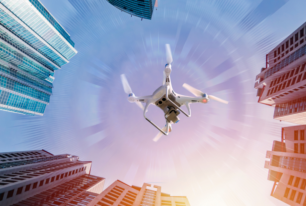
Instinct has long been the preserve of living creatures. A migrating bird does not consult satellites before crossing continents, nor does a hiker become entirely lost the moment a smartphone loses signal. Yet for decades, most autonomous drones have depended on a single external reference to understand where they are: the Global Positioning System. That dependence is increasingly becoming a liability. As electronic warfare proliferates and GPS jamming becomes commonplace, engineers are teaching drones a more human way of navigating. Instead of asking satellites where they are, these aircraft are learning to interpret the world around them.
For years, drone navigation was largely a matter of following coordinates. Before take-off, operators uploaded a series of GPS waypoints, and the aircraft spent the rest of its mission comparing its satellite-derived position against that planned route. So long as the signal remained intact, the system worked remarkably well. But once GPS was interrupted, either by natural obstacles or deliberate interference, the aircraft’s confidence in its own location began to erode almost immediately.
Conventional backup systems rely on what engineers call dead reckoning. An inertial measurement unit, comprising accelerometers and gyroscopes, tracks every movement the aircraft makes. By calculating changes in speed, direction and orientation, the drone estimates where it ought to be relative to its last confirmed position. The method is effective in the short term but suffers from an unavoidable weakness: every measurement contains a minute error. Those errors accumulate over time, producing what is known as drift. After several minutes without an external reference, a drone may believe it is tens or even hundreds of metres from its true location. In contested environments, such uncertainty can prove fatal.
The emerging alternative is often described as vision-based navigation, though the technology is better understood as giving drones a form of spatial awareness. Rather than estimating where they should be, these systems determine where they actually are by analysing the landscape itself. Cameras mounted on the aircraft continuously observe the terrain, identifying roads, buildings, rivers, coastlines, forests and other distinctive features. Artificial intelligence algorithms compare these observations against detailed digital maps stored onboard. When enough landmarks align, the drone calculates its position without relying on a single satellite signal.
The principle is surprisingly familiar. Humans rarely navigate by memorising precise coordinates. Instead, they recognise landmarks, build a mental model of their surroundings and continuously update that model as they move. A church steeple, a railway bridge or a mountain ridge provides far more useful information than an abstract latitude and longitude. Vision-based navigation applies the same logic, except that the recognition process occurs many times each second and across thousands of potential reference points simultaneously.
The quality of those reference maps matters as much as the algorithms interpreting them. Early systems relied primarily on conventional satellite imagery, effectively asking the drone to compare its camera feed with a flat photograph of the Earth. That approach works well enough when flying directly overhead, but low-altitude flight presents a different challenge. Buildings obscure roads, hills distort perspective and shadows transform familiar scenes into unfamiliar ones. The world is three-dimensional; a two-dimensional map struggles to capture it.
This is why many developers have turned to detailed three-dimensional terrain models. These maps incorporate elevation, the height of buildings and the contours of the landscape, allowing the aircraft to compare what it sees from an oblique angle with an accurate digital reconstruction of the environment. The result is not simply greater precision but greater resilience. Whether flying through a dense city, along a mountain valley or beneath cloud cover, the drone can recognise its surroundings from multiple perspectives instead of relying on a single overhead view.
Nor is vision the only source of information. Increasingly, navigation systems fuse data from multiple sensors into a single estimate of the aircraft’s position. Cameras are combined with inertial measurements, radar altimeters, LiDAR, thermal imagers and, when available, GPS itself. No individual sensor is treated as infallible. Instead, software continually weighs their reliability, giving greater confidence to those that agree and discounting those that do not. If GPS disappears, the aircraft simply continues navigating using its remaining senses.
This layered approach marks an important departure from earlier generations of autonomy. Previous drones treated navigation as a straightforward problem of determining position. The latest systems increasingly interpret their surroundings as well. Machine-learning algorithms distinguish roads from rivers, identify obstacles before they become hazards and select alternative routes when the environment changes unexpectedly. Navigation is becoming less about following instructions and more about understanding context.
The implications reach far beyond a single navigation system. Conflicts in Ukraine and the Middle East have shown that GPS can no longer be treated as a guaranteed utility. Cheap jammers and spoofers have turned satellite navigation into a contested resource, forcing militaries to assume that uncrewed systems will eventually lose access to it. The same vulnerabilities affect disaster-response missions, remote infrastructure inspections and commercial operations in environments where reliable positioning cannot be taken for granted. In each case, the question is no longer how a drone performs with GPS, but how well it functions without it.
That is why instinctive navigation is attracting so much attention. The next leap in autonomy will not come from faster processors or longer battery life, but from aircraft that can interpret their surroundings with enough confidence to navigate independently. A drone that understands the landscape beneath it is harder to deceive, harder to disrupt and less dependent on fragile infrastructure. As electronic warfare becomes a permanent feature of modern conflict, the ability to navigate by observation rather than instruction is beginning to look less like an advantage than a prerequisite.


Leave a comment